Fanno Creek Headwaters
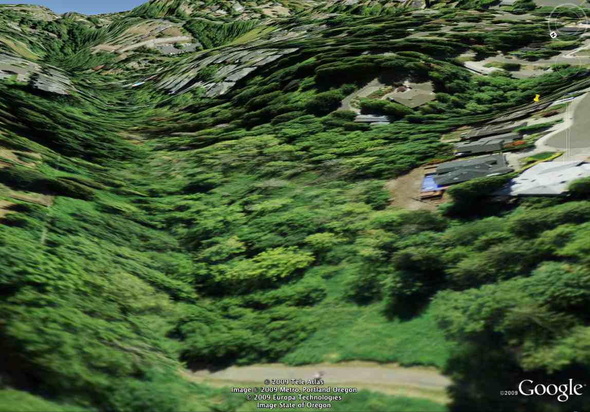
A yellow push-button identifies the field station in this synthetically enhanced aerial image. The wetland is in the center, HideawayPark in the foreground, Wiki Creek enter from the right and joins Fanno Creek entering from the left.
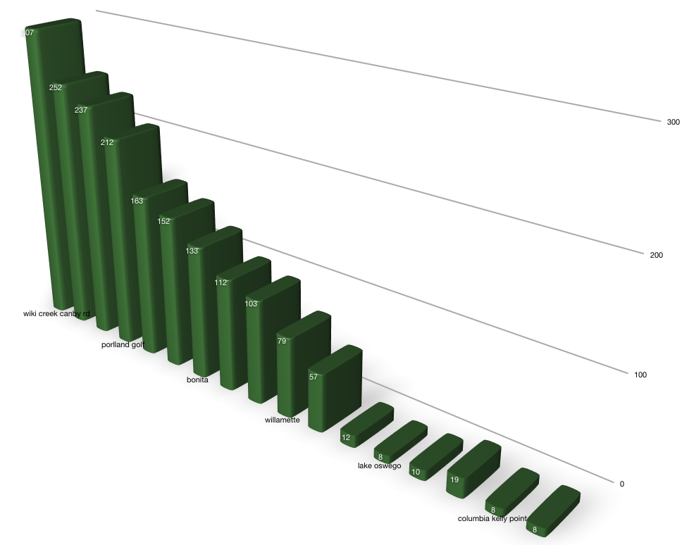
We traced the path of Wiki Creek waters, through the wetland and on to the Pacific Ocean. Elevations along this route are charted and tabulated below. Note: The Willamette river is shown to flow uphill, rising over ten feet to Cathedral Park, illustrating a limitation of this methodology.
| waterway | location | elevation |
| wiki creek | multnomah blvd | 307 |
| field station | 252 | |
| woods creek | hideaway park | 237 |
| fanno creek | portland golf club | 212 |
| greenway park scholls fry rd | 163 | |
| tigard | 152 | |
| bonita | 133 | |
| tualitan river | durham | 112 |
| wankers corner | 103 | |
| willamette | 79 | |
| willamette river | willamette park | 57 |
| oregon city | 12 | |
| lake oswego | 8 | |
| portland | 10 | |
| cathedral park | 19 | |
| columbia river | kelly point | 8 |
| saint helens | 8 | |
| pacific ocean | astoria | 0 |
Artesian Source
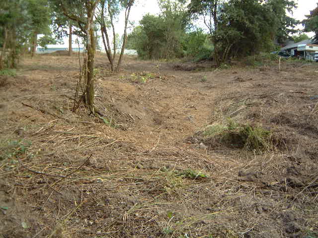
Wiki Creek emerges as an ArtesianSpring on the north side of SW Canby Road. A sink in higher ground south of the road shows evidence of this underground aquifer. These historical pictures looking south show the sink in 2001 before it was covered with a housing development.
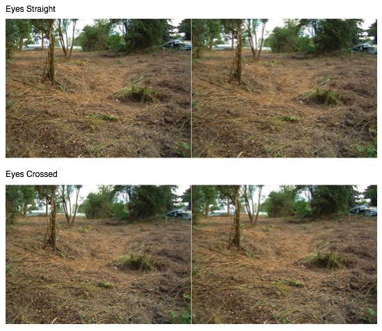
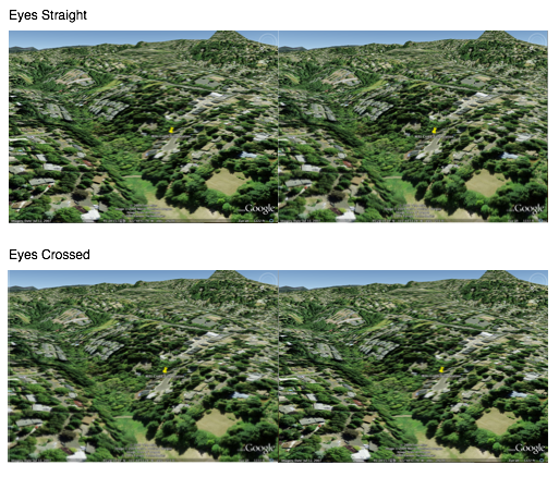
Viewing Stereo Pairs
The 3-D stereo pairs can be viewed two ways, eyes straight or crossed. Click the thumbnail to begin. The two pairs differ only in which image is placed on the left.
For eyes straight, gaze through the screen letting the top images go out of focus. When double vision creates a third image, wiggle your head until it fuses, then slowly bring it into focus.
For eyes crossed, stare at your finger half way between your face and the screen. Move your finger until a third image appears and fuses, then slowly bring it into focus.
Acknowledgements
Our interest in headwaters has been inspired by PaulKrafel, and especially the DVD UpwardSpiral passed on from Paul, through TedErnst to us.
Return to WelcomeVisitors