Ten Foot Survey
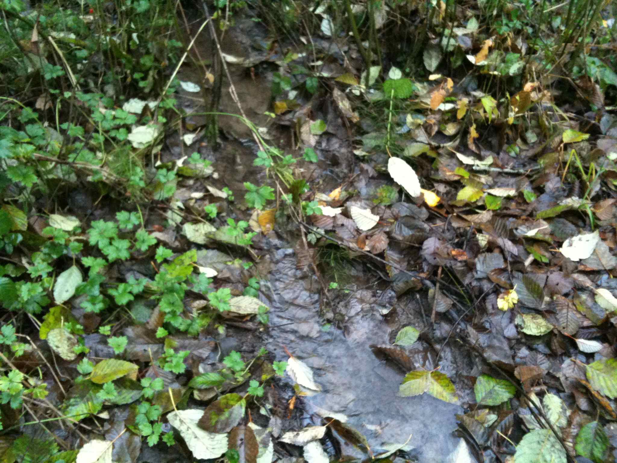
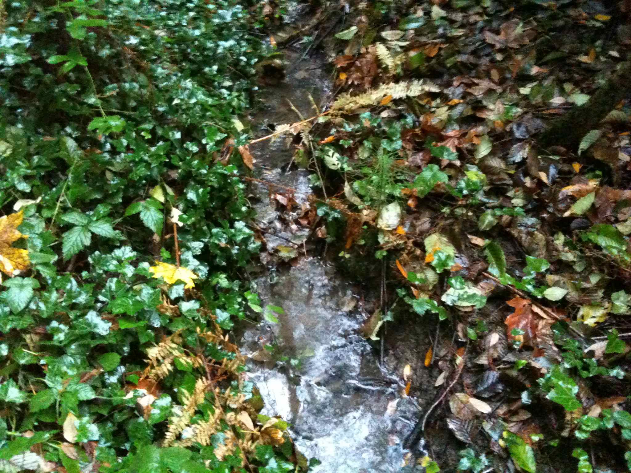
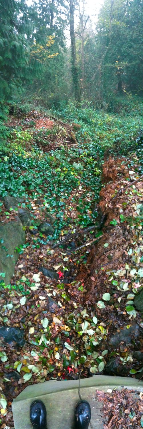
Our methodology was to take a pictures, facing upstream, angled down at about 45 degrees. We paced out three paces between pictures expecting this to space them about ten feet apart. The result is thirty five exposures:
    TenFootSurveyOne -- thumbnails
    http:files/TenFootSurvey/thumb -- image files
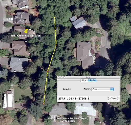
Later path analysis using GoogleEarth estimates the distance traveled at 277 feet giving a photo spacing of eight feet. Yellow dots in the following screen capture approximate the location of each exposure.
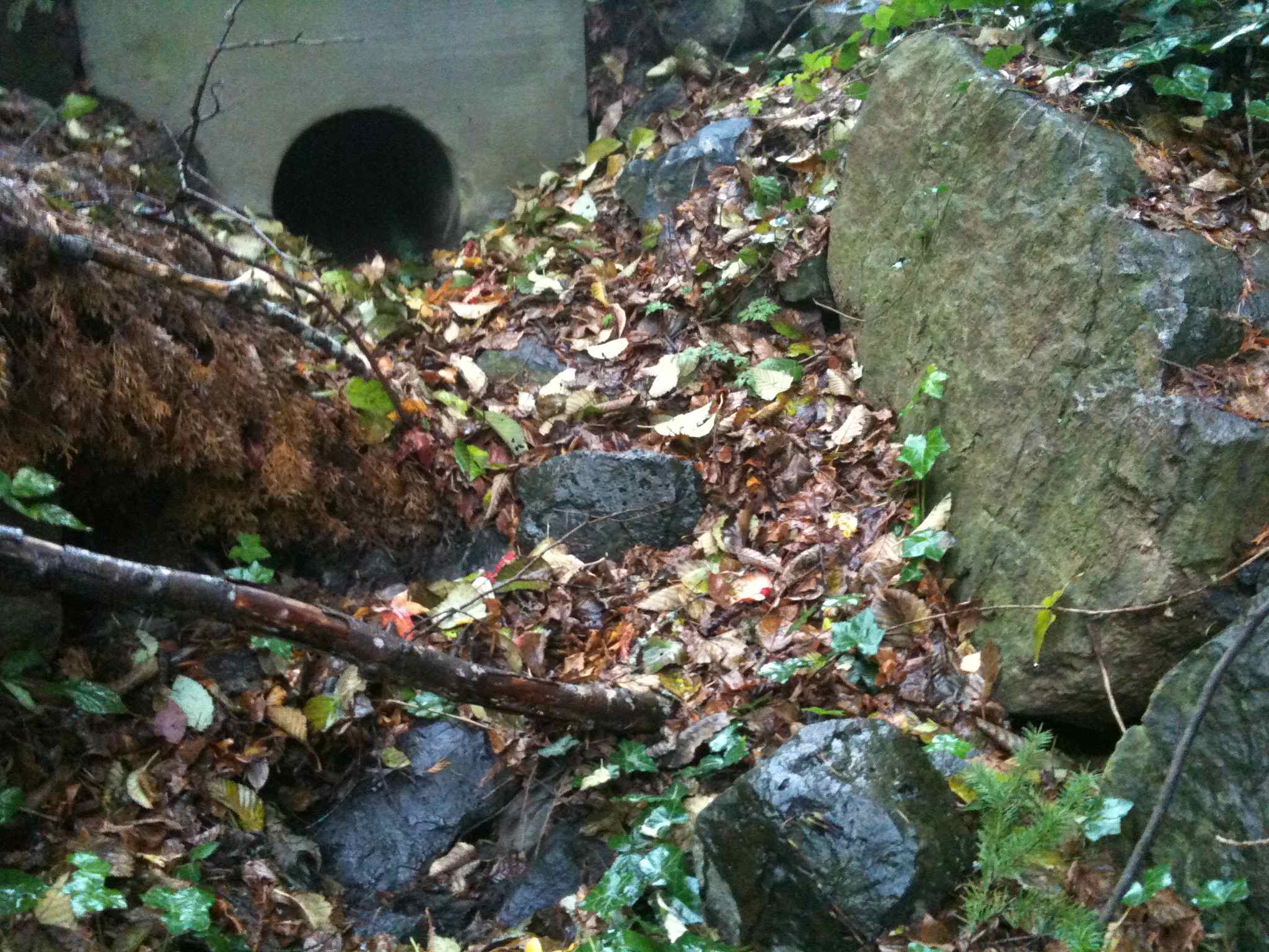
This is the first time we had followed the creek to its above ground origin just south of SW Canby Road. JimLong tells us that the concrete culvert was constructed a the time of the development on the north side of Canby.
Return to WelcomeVisitors