n45 w122 -- Bagby
Ward Cunningham
Pat Cunningham
September 23, 2000

This confluence is in the
Clackamas River Ranger District of the
section of the Mount Hood National
Forest. It is six miles southeast of the Ripplebrook Ranger Station,
in the same general area as Bagby Hot Springs.
My son and I headed out for this confluence at 4:30 pm a warm Saturday
afternoon. The Garmin quoted sunset at 7:05 which sounded like plenty of
time until we hit the weekend traffic the interstate. By the time we
got to Estacada,we knew our schedule would be tight. Still, we knew we
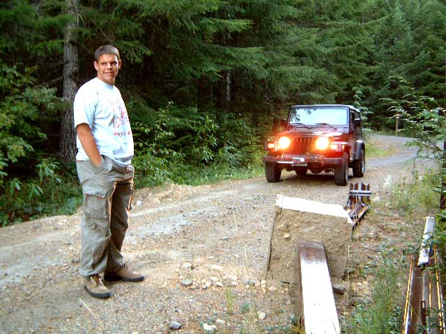
had paved roads for almost all of the remaining 25 miles. You will notice
that we did have the lights when we finally encountered gravel, and
a hefty (though disassembled) gate, a half mile from our goal.
From Estacada take state road 224 south to Ripplebrook. Continue south
forest road 46, past Clackamas River Road, to forest road 6310. Follow
this for 1.6 miles to Granite road. Expect gravel, and possibly a gate,
in 1.6 miles. One half mile further is the closest approach to the confluence.
Download a Garmin mps file with our track (50kb).
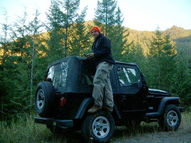
We drove a few hundred feet further to find a wide spot in the
road in which to park. By now it was a quarter to seven. The only
sunlight was the peaks across the valley.
The confluence is located in second growth forest 600 feet down and east of the
road. Heavy brush clung to the thirty degree down slope. We made way
as best we could for a hundred feet or so. This took 15 minutes which
brought us to within five minutes of sunset. We knew the light would hang
after that. But at fifteen minutes per hundred feet we didn't believe we could
safely reach the confluence and return. We settled for shots in dim light
500 feet from our goal. So close but yet so far.
  
And then we scrambled back up the hill.

See also the official posting of this page.
|